Seminar on the Use of Satellite Technologies for Disaster Prevention Held at CAIAG

On November 10, a seminar on the application of satellite technologies for monitoring natural hazards and responding to natural disasters was held at the Central Asian Institute for Applied Geosciences.
The seminar was conducted by representative of the Asian Disaster Reduction Center (ADRC) Makoto Ikeda.
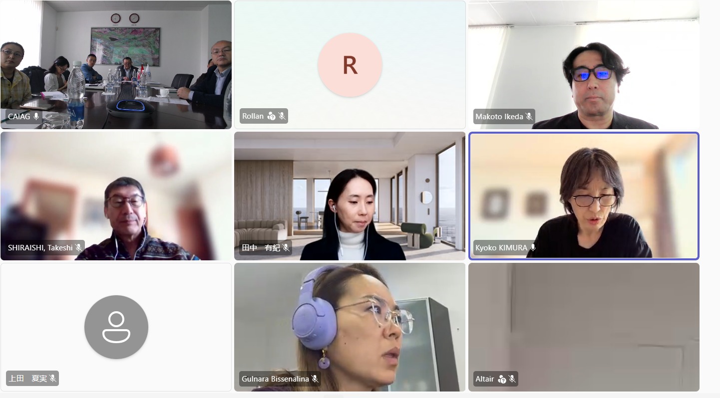
CAIAG’s co-director Bolot Moldobekov, staff members from the «Geodynamics and Georisks» Department Ulan Abdybachaev and Tengdik Konokov, and staff from the «Capacity Building and Scientific Cooperation» Department Nazgul Alybaeva and Yan Stepnitskiy took part in the seminar. Representatives from the Japan International Cooperation Agency (JICA) also attended in person.
During the seminar, participants were introduced to the "Sentinel Asia" initiative, which provides satellite imagery and remote sensing data to support emergency response efforts in the wake of natural disasters.
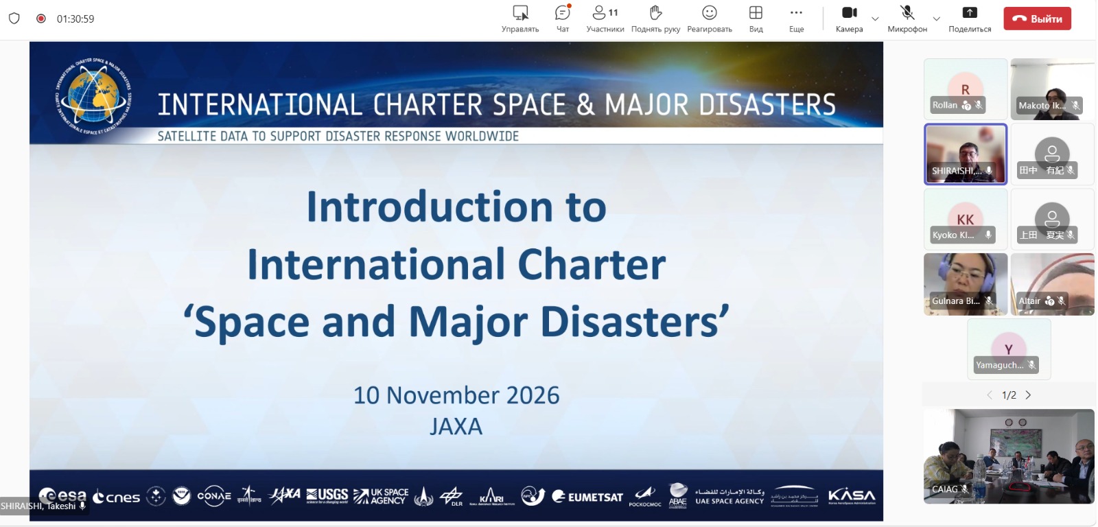
The seminar program featured several thematic presentations delivered online. A representative of the Japan Aerospace Exploration Agency (JAXA) Yuki Tanaka provided an overview of Earth-observation satellite technologies within the framework of the Sentinel Asia initiative. Takeshi Shiraishi, representing the Japan Space Forum, discussed the activities of the "International Charter: Space and Major Disasters". Makoto Ikeda provided a detailed explanation of the procedure for submitting requests for emergency satellite observation via the International Charter, using the OPTEMIS platform; he also outlined the standard process for formalizing and handling such requests.
At the conclusion of the seminar, participants discussed ways to improve existing coordination procedures and strengthen regional cooperation in the use of satellite technologies for monitoring natural hazards, preventing disasters, and enhancing the effectiveness of emergency response efforts.