Satellite mission SWOT


Recently, a team of scientists from France, Germany and Kyrgyzstan conducted a 7-day campaign at Issyk-Kul Lake to calibrate and test the newly launched SWOT satellite mission. The SWOT (Surface Water and Ocean Topography) satellite, weighing 2 tons and is designed to measure the level of oceans and water surfaces on land with the novel InSAR altimetry method with unprecedented coverage and resolution, was developed by the National Aeronautics and Space Administration (NASA) of the United States and the National Centre for Space Studies (CNES) with the participation of the Canadian and British Space Agencies and launched into outer space by the SpaceX Falcon 9 rocket.
The SWOT satellite, flying around the Earth in low earth orbit at an altitude of 890 km, will repeat its orbit every 21 days, and each time all waters larger 250 m (lakes and reservoirs) and wider 100 m (rivers) will be mapped in the band from 10 to 60 km on either side of the satellite ground track. Until the satellite enters this mode in June 2023, three months the satellite will be in a special orbit, daily repeating its ground trajectory over Lake Issyk-Kul.
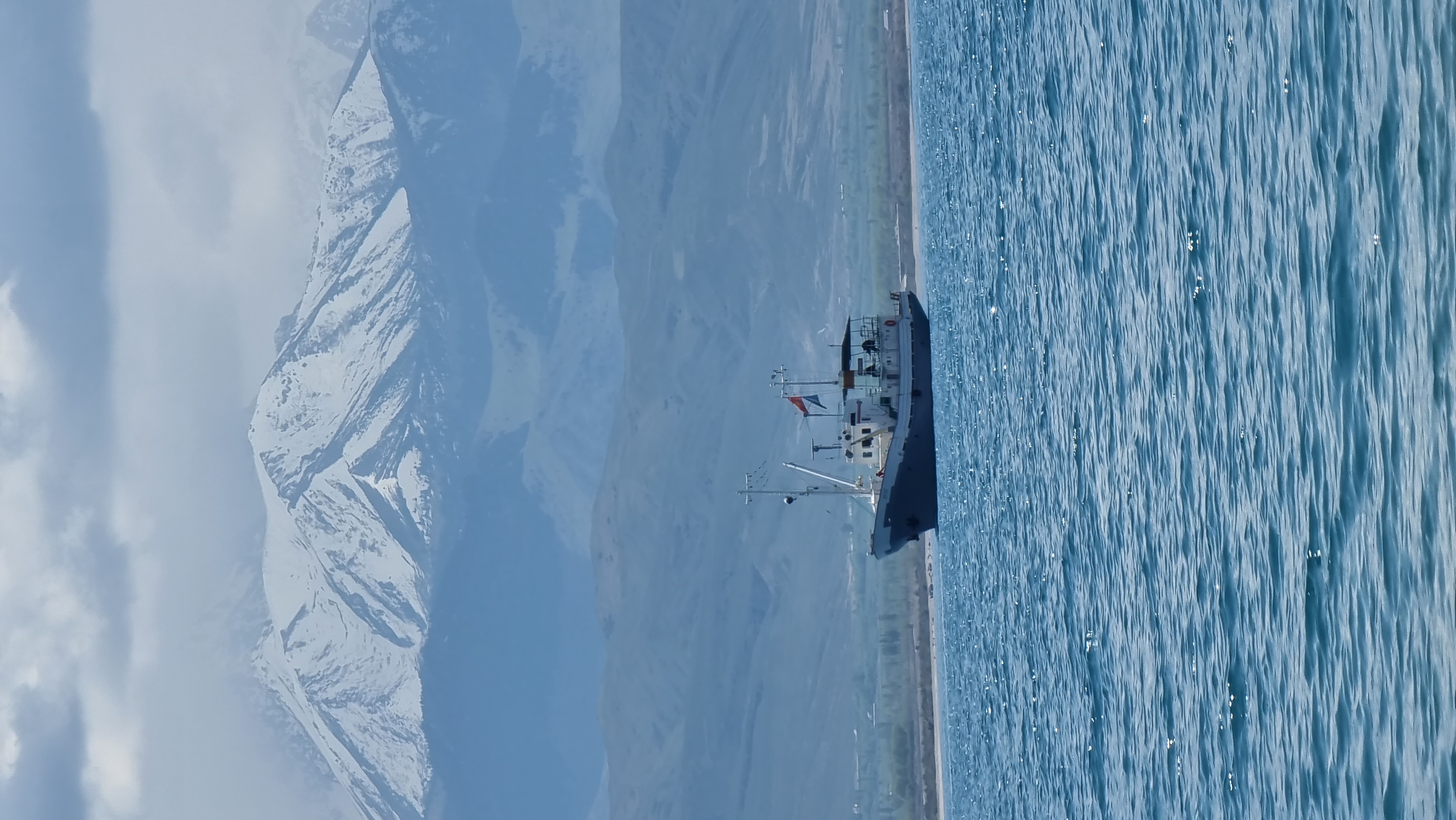
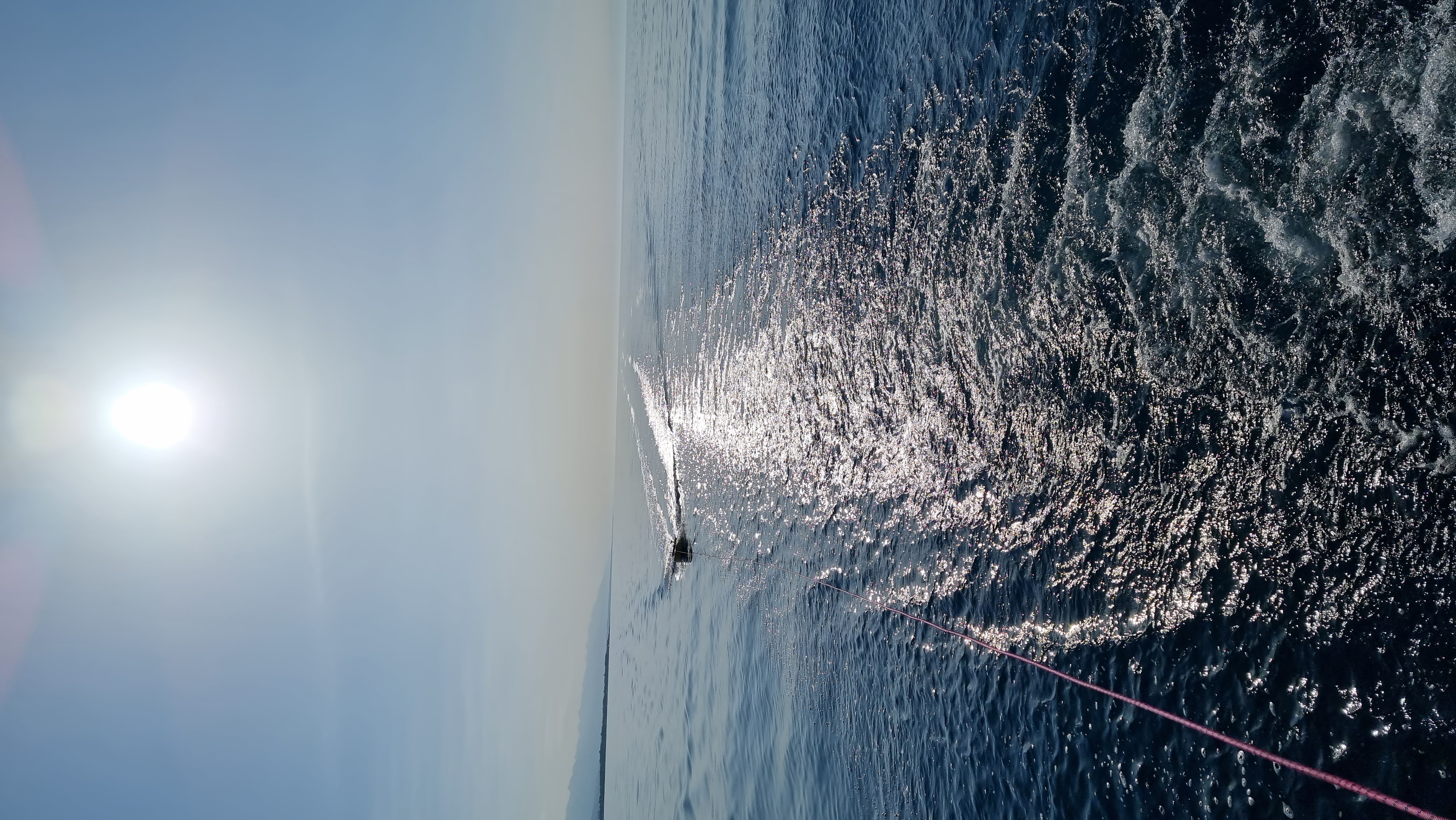
The international team took advantage of this and in May of this year conducted above-water measurements using the Multur and Fortuna vessels. The height of the water surface was measured by radar sensors and high-precision GPS receivers installed on board the ships during their crossings the lake in its eastern part. To obtain a better spatial resolution, the measurements were supplemented with data from a GPS buoy (CAIAG/GFZ) and a French "GPS carpet" towed to the ships on ropes. The campaign was supported by observations from two climatic stations in Balykchy and Zorka (Ton) and five tide gauges around the lake, installed and operated jointly by the GFZ / CAIAG. The campaign was supplemented by two more GPS stations temporarily installed on the territory of Laguna City and Natali Resorts. In the coming months, the teams will process the data and compare the results with the SWOT data. This will help to understand the capabilities of SWOT operational data and develop new methods and algorithms for their processing. After the SWOT transfers to the nominal orbit, information about the water resources of Central Asia will be automatically extracted and processed by the GFZ / CAIAG, and all the results will be available on the open data portal - in the Sensor Data Storage System - http://sdss.caiag.kg.